


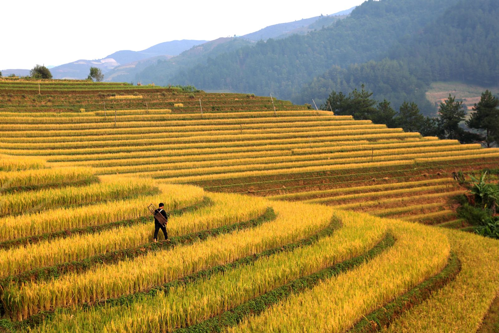
This photo shows a man walking by the hillside rice fields in Vietnam. Emerging technological innovations hold promise for agricultural statistics.
Photo: Tran Thi Minh Ha/AFP/Getty Images
Improving the welfare of Asian farmers depends on strategically investing in collecting “good data.” Most of Asia’s impoverished communities live in rural areas and rely on agriculture as their main source of income.
Enhanced agricultural productivity would go a long way toward reducing rural poverty and boosting the incomes of small-scale farmers. It is also key to achieving Sustainable Development Goal no. 2, zero hunger. This will require major investments in new types of data collection.
Traditional methods of data collection—such as administrative reporting systems or surveys—are costly and prone to significant measurement errors. More innovative methods can harness the power of technology to reduce costs and get information into the hands of both policymakers and farmers.
This year’s Special Supplement to Key Indicators for Asia and the Pacific 2018 includes new research demonstrating how technological innovations can improve the quality, timeliness, and granularity of agricultural statistics, while reducing overall collection costs.
Results from two methodological studies reveal the usefulness and viability of remote sensing technology in land measurement and yield estimation, which form the basis for numerous policies on resource allocation, subsidies, volume of trade, and food prices. A third study provides agriculture ministries a more reliable sampling frame that ensures no one is left behind, especially small-scale farmers who are more likely to be eliminated by outdated population registers or censuses.
The studies were implemented in collaboration with national statistics offices and ministries of agriculture in three pilot countries: Laos, Thailand, and Vietnam.
The First Study
The first study focuses on the use of Google Earth images for plot area measurement through digital tracing and compares it with GPS-based plot area measurement, considered as the current gold standard for area measurement. Since land is a key measure of absolute and relative farmer wealth and a key variable for determining agricultural input use and output measures, its inaccurate estimation would lead to inappropriate welfare measures that would weaken policies targeting subsistence farmers.
The estimates from the first approach were based on the boundaries of plots using hand-held GPS navigation devices. The second approach used high-resolution Google Earth images to trace and digitize plot boundaries with the help of freely available Geographic Information Systems software.
While the results show that the GPS-derived estimates were statistically similar to estimates from Google Earth images, the latter costs 38 percent less. Conducting an area survey is an expensive process, so any means of cost reduction is welcome, and the savings could be reallocated to other policy actions.
Emerging and existing technologies can complement each other and bolster data quality for effective, evidence-based policies for the agricultural sector.
The Second Study
The second study develops a method for estimating crop yields from space, based on the premise that satellite data can help create crop growth models and improve yield estimates. To do this, an innovative data fusion technique was employed in Thai Binh province, Vietnam, wherein two freely available sources of satellite data were combined to come up with a fused product with enhanced spatial and temporal resolution.
The resulting fused data was then used to estimate a relationship between crop cutting-derived yields (widely used today) and satellite-derived crop parameters, such as the Normalized Difference Vegetation Index.
This will be useful in developing a spatially disaggregated rice yield map, which is difficult to prepare using traditional methods, given the sample size requirements and lack of geo-coded information. Better data on crop yields can help policymakers identify hot spots of high and low productivity so resources can be targeted to address the gaps.
The Third Study
A third study explores the utility of land-use maps developed from satellite data in constructing an agricultural sampling frame, which is a complete list of agricultural households that is used to draw a sample to conduct surveys. Sampling frames are traditionally based on a census, which may be outdated, incomplete and nonrepresentative, thereby not reflecting ground reality.
The advantage of using a satellite-derived sampling frame is that it eliminates under-coverage stemming from an outdated population-based frame, as satellite images are updated more often. They also permit the calculation of measures of precision and, therefore, are likely to be more reliable than official estimates that do not provide confidence intervals.
Technology Can Do More
The report also expounds on other emerging technological innovations that hold promise for agricultural statistics. Drones, for instance, can collect much higher resolution images down to the crop level relatively quickly, providing substantially new information to improve crop yield estimation and risk assessment.
Meanwhile, tablet-based data collection can transform administrative and survey data quality through improved data validation and management. Finally, artificial intelligence is likely to be a game-changer for agricultural statistics. Different sources of real-time information can be fed into a machine-learning algorithm to obtain real-time data on critical variables, such as expected yields and production, to facilitate and improve crop forecasting at more granular levels.
Technology can address numerous gaps in agricultural statistics, especially building the statistical capacity and know-how of relevant national agencies. The ultimate objective is for both emerging and existing technologies to complement each other and bolster agricultural data quality for more effective, evidence-based policies for the agricultural sector.
This requires more targeted investments in better data collection and management practices—including technological innovations—to enable a policy environment that helps farmers increase productivity and wages and ultimately contributes to poverty reduction.
This piece first appeared on the Asian Development Blog.